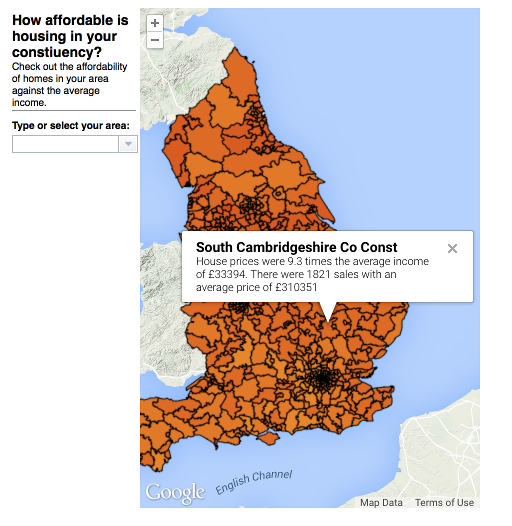
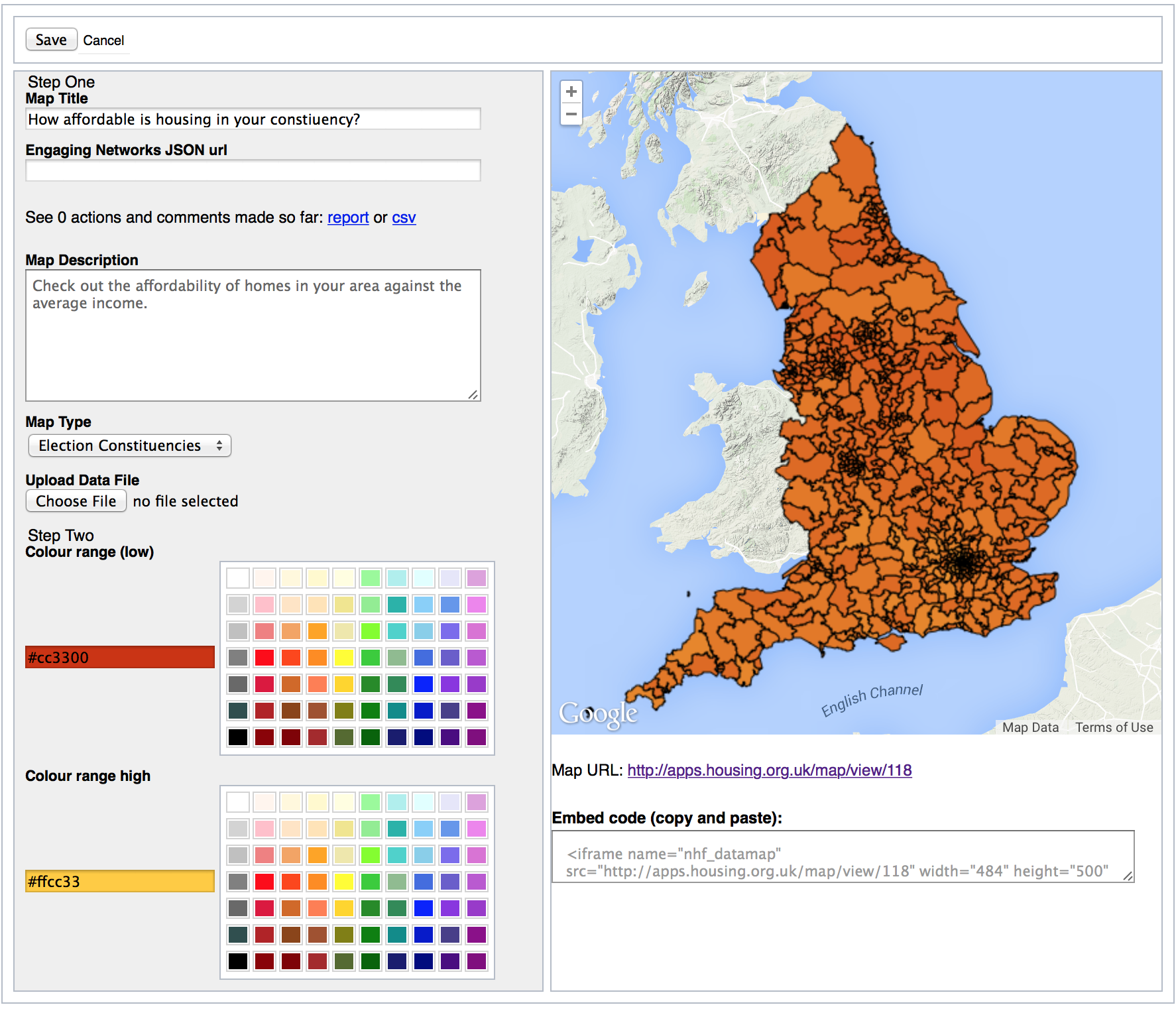
National Housing Federation data map of the UK
This interactive map visualisation tool provides the NHF the tools to upload data from UK Local Authorities, Westminster Electoral Constituencies and Local Economic Partnerships. The data is overlaid on the map as shaded polygons to highlight the range of a statistic across the geographic regions.
The map includes an option to allow end users to add their support to an NHF campaign via Engaging Networks and have that support represented as a marker on the map.


